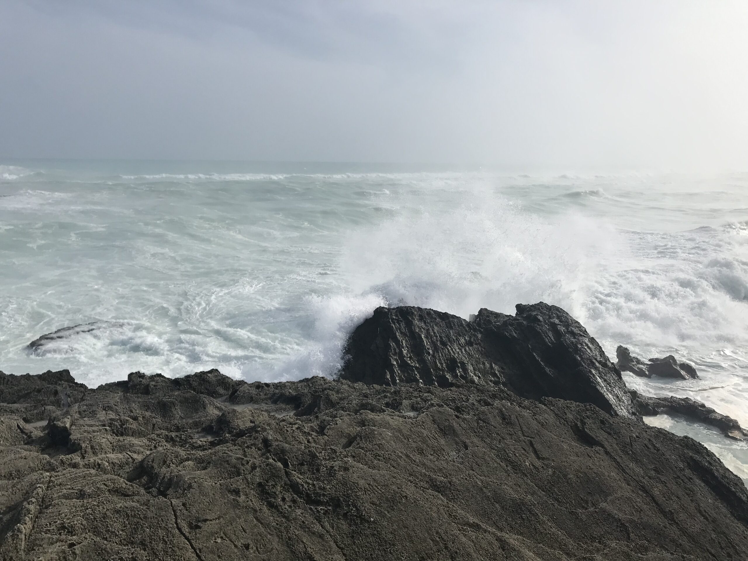
“The 2022 North Atlantic hurricane season officially gets underway on Wednesday, June 1, and runs for six months through to November 30. Ahead of the start of the season, several forecasting agencies and groups have issued seasonal outlooks that provide a guide to the expected level of activity this year. The forecasts are typically revised in early August ahead of the historically most active months of the season, August, September, and October.
Most forecasting groups and agencies are anticipating above-average activity in the basin this season, which comprises the North Atlantic Ocean, the Caribbean Sea, and the Gulf of Mexico. The U.S. National Oceanic and Atmospheric Administration (NOAA) has forecast 14-21 named storms, of which 6-10 are expected to become hurricanes, and 3-6 of those are forecast to become major hurricanes (Category 3 or stronger). On average, the North Atlantic sees 14 named storms, 7 hurricanes, and 3 major hurricanes. Outlooks from other meteorological forecast agencies and groups and are broadly in line with the guidance issued by NOAA in calling for an above-average season.
These forecasts reflect the state of the two main oceanic and climate factors that historically dictate hurricane activity in the basin: the El Niño-Southern Oscillation (ENSO) and sea surface temperatures in the equatorial North Atlantic. ENSO is forecast to remain in a La Niña phase through the summer. Such conditions reduce the vertical wind shear across the North Atlantic, which typically enhances hurricane activity by providing a more favorable atmosphere for storm development and intensification. Moreover, sea surface temperatures in the tropical North Atlantic are expected to remain above average throughout the summer, which also typically increases hurricane activity in the basin.
If the current forecasts verify, 2022 would be a record seventh consecutive above normal season. However, these forecasts only provide a guide to the anticipated level of activity across the North Atlantic; they do not provide an indication of the expected number of storms to threaten land or make landfall. Although long-term statistics indicate that the probability of a hurricane making landfall in the U.S. increases during more active seasons, there are notable exceptions. 2010 was a particularly active year but only one tropical storm made landfall in the U.S. Conversely, Hurricane Andrew, one of the most intense and costliest hurricanes in U.S. history, was one of only seven storms to develop during the quiet 1992 season. It only takes one landfalling storm to make the season a memorable one.
Throughout the season, the RMS Event Response team will be closely following all tropical activity and can provide insight and comment on hurricane formation, their movements, potential landfalls, and post-landfall industry loss estimates. This includes unique RMS HWind analysis that provides detailed storm information and forecast.
Any content which is considered unsuitable, unlawful, or offensive, includes personal details, advertises or promotes products, services or websites, or repeats previous comments will be removed.
User comments posted on this website are solely the views and opinions of the comment writer and are not a representation of or reflection of the opinions of TNN or its staff.
TNN reserves the right to remove, edit or censor any comments.
TNN accepts no liability and will not be held accountable for the comments made by users.

